PHOTOEXPEDITION:
THE VOLCANIC LANDSCAPES OF SÃO MIGUEL, AZORES
| September 06, 2020
#Science #Geology #Azores #SãoMiguel
In the Ocean — halfway between Europe and North America — we have rediscovered the Azores and the imposing island of São Miguel. Its natural history, forged from the Earth, echoes in this photographic record, composed by our team in the expedition of February 2020.
THE AZORES
ARCHIPELAGO
Central in the North Atlantic, the nine islands of the Azores are arranged in an NW-SE line, approximately 600km in length. The archipelago is located around the Azores Triple Junction, where the African, Eurasian, and North American plates intersect. The islands are volcanic in origin, fuelled by rising materials associated with a postulated hotspot near the Mid-Atlantic Ridge.
Image: Terra Satellite / NASA
THE VOLCANIC GEOGRAPHY
OF SÃO MIGUEL
The largest and most populated of the Azores islands, São Miguel is the result of a continuous succession of volcanic events that span from the Pliocene to the present day. Each of these moments have shaped the current terrain, resulting in a rugged geomorphology full of craters, sharp cliffs, tall peaks, all evidence of the turbulent interaction between the Earth’s surface and the underlying mantle.
Seven volcanological units function as the foundations of the island: the Northeast Volcanic Complex, the oldest (0.95 – 4.01 Ma), originated from both effusive and fissure eruptions; the Volcanic Complex of População, related to the homonymous volcano; the Água de Pau Volcano, with Lagoa do Fogo at its centre; the Sete Cidades Volcano, forming the island’s western territory; the Congro Volcanic System; the Furnas Volcano, most recent of the active volcanoes in São Miguel; the Picos Volcanic System, most recent of all units (0 -> 31,000 years B.P).
LAGOA
DO FOGO
Situated in the heart of São Miguel, this impressive caldera was formed from successive events of explosion and collapse inside the Água de Pau Volcano. The present shape has its origins in a last collapse, taking place about 5,000 years ago. It outlines the highest crater lake on the entire island, situated 575 meters above the ocean.
| 37°46’9.15″N — 25°29’18.56″W
Portugal > São Miguel > Vila Franca do Campo / Ribeira Grande
PONTA
DA FERRARIA
Marking the westernmost point of the island, this lava delta was created when a subaerial lava flow — originated in a nearby eruption (Camarinhas) — reached the waters of the Atlantic. The resulting promontory is dominated by sharp ʻAʻā basalts, as well as smoother Pāhoehoe, and it is pierced by hot springs that heat the sea along the coast.
| 37°51’38.44″N — 25°51’9.55″W
Portugal > São Miguel > Ponta Delgada
LAGOA
DO CANÁRIO
Part of the Sete Cidades massif, this small crater lake represents an interesting example of the myriad of similar landforms featured around Serra Devassa. The surrounding slopes, heavily forested by japanese cedars (Cryptomeria japonica), shelter a calm, oval-shaped body of water with muddy banks.
| 37°50’7.70″N — 25°45’32.77″W
Portugal > São Miguel > Ponta Delgada
ILHÉU DE
VILA FRANCA
Originated from a shallow underwater eruption, the Vila Franca islet can be easily observed from the main island of São Miguel, at a distance of about 500 metres from the coast. This Surtseyan volcanic cone, now heavily eroded, is cut by a circular crater 30 metres deep, connected with the ocean through an opening in its northeast sector.
| 37°42’19.91″N — 25°26’37.67″W
Portugal > São Miguel > Vila Franca do Campo
REGIÃO
DOS PICOS
Stretching for approximately 23 km between the Sete Cidades and Água de Pau volcanoes, the Picos Volcanic Fissural System constitutes the most recent volcanic system in the entire island. Fading away into the fog, this territory reveals a group of about 300 cinder cones, gently divided by hedgerows and farms.
| 37°47’34.03″N — 25°38’49.94″W
Portugal > São Miguel
LAGOA DAS
SETE CIDADES
Filling an imposing caldera — roughly 4.5 km in diameter — this twin lake system marks the central point of the massif with the same name. The high, surrounding walls bear witness to the colapse of a dormant composite volcano, circumscribing several secondary volcanic cones, as well as other, smaller, crater lakes.
| 37°51’24.46″N — 25°47’23.48″W
Açores > São Miguel > Ponta Delgada
LAGOA
DAS FURNAS
Famous for its hydrothermal system, this crater lake constitutes the most visible aspect of the Furnas volcano. Mineral springs and fumarole fields are present in its northern shores, being produced by the interaction of groundwater with the underlying magma. Two recent eruptions mark the recorded history of this volcano: one, in 1439, and another one, in 1630.
| 37°45’32.18″N — 25°20’0.08″W
Portugal > São Miguel > Povoação
PONTA DA
MADRUGADA
The north-western landscapes of São Miguel are closely connected with the Tronqueira Region and the highest point on the island: Pico da Vara. Here we can still see the remnants of the oldest region in São Miguel — the Northeast Volcanic Complex — and explore its steep sloped valleys and prominent sea cliffs.
| 37°47’20.94″N — 25° 8’46.93″W
Açores > São Miguel > Nordeste
AN ISLAND PAINTED IN
GREEN AND GREY
Part of the Azorean Eastern Group, together with the Santa Maria Island and the Formigas Islets, São Miguel stands on the eastern edge of the Azores Plateau. Situated relatively close to the Azores-Gibraltar Transform Fault, and intersected by the Terceira rift, this island is unsurprisingly subject to high volcanic and seismic activity, even to this day.
Isolated in the Atlantic Ocean, 80 km from the nearest island and more than 1360 km from the European continent, São Miguel is strongly influenced by ocean currents and winds, the most important being the Gulf Stream. The resulting mild climate gave rise to a verdant landscape, originally dominated by Macaronesian laurel forests that thrived in this volcanic geography for thousands of years. Human presence — established in the second half of the 15th century — has changed the territory and its native ecology, perpetuating agriculture, silviculture, pastoralism, and urban areas on the ancient lands of São Miguel.
LATEST
ARTICLES

OKEANOS_OO1:
EXPEDITION TO THE SHORES OF INGRINA, VILA DO BISPO
| September 22, 2020
#Science #Biology #Geology #Okeanos #Ingrina
CHLORIS:
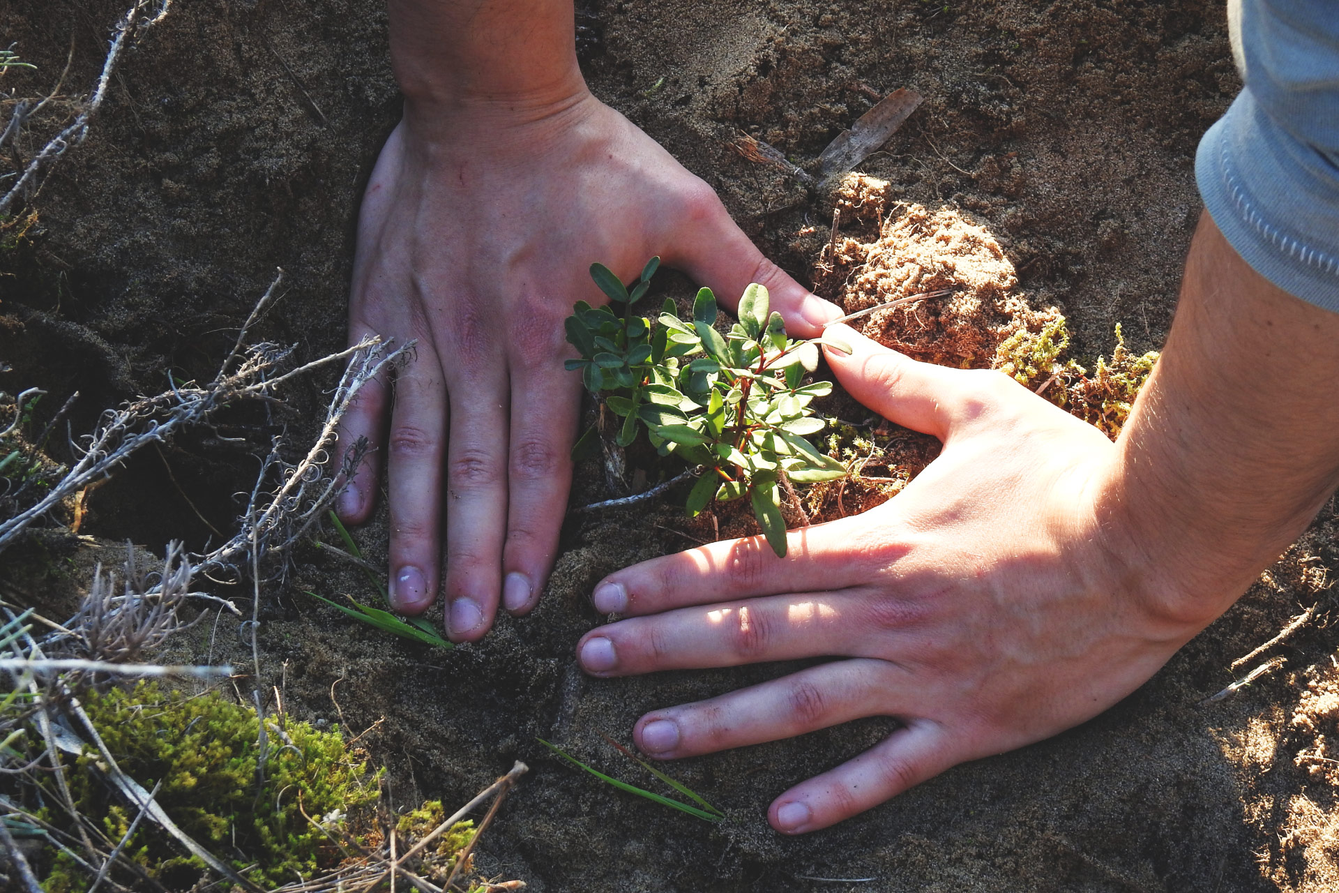
TWO YEARS OF INTERVENTION IN THE AGUDA WOODS
| September 13, 2020
#Conservation #Chloris #Aguda
PHOTO-EXPEDITION:
THE VOLCANIC LANDSCAPES OF SÃO MIGUEL, AZORES
| September 06, 2020
#Science #Geology #Azores #SãoMiguel
In the Ocean — halfway between Europe and North America — we have rediscovered the Azores and the imposing island of São Miguel. Its natural history, forged from the Earth, echoes in this photographic record, composed by our team in the expedition of February 2020.
THE AZORES
ARCHIPELAGO
Central in the North Atlantic, the nine islands of the Azores are arranged in an NW-SE line, approximately 600km in length. The archipelago is located around the Azores Triple Junction, where the African, Eurasian, and North American plates intersect. The islands are volcanic in origin, fuelled by rising materials associated with a postulated hotspot near the Mid-Atlantic Ridge.
Image: Terra Satellite / NASA
THE VOLCANIC GEOGRAPHY
OF SÃO MIGUEL
The largest and most populated of the Azores islands, São Miguel is the result of a continuous succession of volcanic events that span from the Pliocene to the present day. Each of these moments have shaped the current terrain, resulting in a rugged geomorphology full of craters, sharp cliffs, tall peaks, all evidence of the turbulent interaction between the Earth’s surface and the underlying mantle.
Seven volcanological units function as the foundations of the island: the Northeast Volcanic Complex, the oldest (0.95 – 4.01 Ma), originated from both effusive and fissure eruptions; the Volcanic Complex of População, related to the homonymous volcano; the Água de Pau Volcano, with Lagoa do Fogo at its centre; the Sete Cidades Volcano, forming the island’s western territory; the Congro Volcanic System; the Furnas Volcano, most recent of the active volcanoes in São Miguel; the Picos Volcanic System, most recent of all units (0 -> 31,000 years B.P).
LAGOA
DO FOGO
Situated in the heart of São Miguel, this impressive caldera was formed from successive events of explosion and collapse inside the Água de Pau Volcano. The present shape has its origins in a last collapse, taking place about 5,000 years ago. It outlines the highest crater lake on the entire island, situated 575 meters above the ocean.
| 37°46’9.15″N — 25°29’18.56″W
Portugal > São Miguel > Vila Franca do Campo / Ribeira Grande
PONTA
DA FERRARIA
Marking the westernmost point of the island, this lava delta was created when a subaerial lava flow — originated in a nearby eruption (Camarinhas) — reached the waters of the Atlantic. The resulting promontory is dominated by sharp ʻAʻā basalts, as well as smoother Pāhoehoe, and it is pierced by hot springs that heat the sea along the coast.
| 37°51’38.44″N — 25°51’9.55″W
Portugal > São Miguel > Ponta Delgada
LAGOA
DO CANÁRIO
Part of the Sete Cidades massif, this small crater lake represents an interesting example of the myriad of similar landforms featured around Serra Devassa. The surrounding slopes, heavily forested by japanese cedars (Cryptomeria japonica), shelter a calm, oval-shaped body of water with muddy banks.
| 37°50’7.70″N — 25°45’32.77″W
Portugal > São Miguel > Ponta Delgada
ILHÉU DE
VILA FRANCA
Originated from a shallow underwater eruption, the Vila Franca islet can be easily observed from the main island of São Miguel, at a distance of about 500 metres from the coast. This Surtseyan volcanic cone, now heavily eroded, is cut by a circular crater 30 metres deep, connected with the ocean through an opening in its northeast sector.
| 37°42’19.91″N — 25°26’37.67″W
Portugal > São Miguel > Vila Franca do Campo
REGIÃO
DOS PICOS
Stretching for approximately 23 km between the Sete Cidades and Água de Pau volcanoes, the Picos Volcanic Fissural System constitutes the most recent volcanic system in the entire island. Fading away into the fog, this territory reveals a group of about 300 cinder cones, gently divided by hedgerows and farms.
| 37°47’34.03″N — 25°38’49.94″W
Portugal > São Miguel
LAGOA DAS
SETES CIDADES
Filling an imposing caldera — roughly 4.5 km in diameter — this twin lake system marks the central point of the massif with the same name. The high, surrounding walls bear witness to the colapse of a dormant composite volcano, circumscribing several secondary volcanic cones, as well as other, smaller, crater lakes.
| 37°51’24.46″N — 25°47’23.48″W
Açores > São Miguel > Ponta Delgada
LAGOA
DAS FURNAS
Famous for its hydrothermal system, this crater lake constitutes the most visible aspect of the Furnas volcano. Mineral springs and fumarole fields are present in its northern shores, being produced by the interaction of groundwater with the underlying magma. Two recent eruptions mark the recorded history of this volcano: one, in 1439, and another one, in 1630.
| 37°45’32.18″N — 25°20’0.08″W
Portugal > São Miguel > Povoação
PONTA DA
MADRUGADA
The north-western landscapes of São Miguel are closely connected with the Tronqueira Region and the highest point on the island: Pico da Vara. Here we can still see the remnants of the oldest region in São Miguel — the Northeast Volcanic Complex — and explore its steep sloped valleys and prominent sea cliffs.
| 37°47’20.94″N — 25° 8’46.93″W
Açores > São Miguel > Nordeste
AN ISLAND PAINTED IN
GREEN AND GREY
Part of the Azorean Eastern Group, together with the Santa Maria Island and the Formigas Islets, São Miguel stands on the eastern edge of the Azores Plateau. Situated relatively close to the Azores-Gibraltar Transform Fault, and intersected by the Terceira rift, this island is unsurprisingly subject to high volcanic and seismic activity, even to this day.
Isolated in the Atlantic Ocean, 80 km from the nearest island and more than 1360 km from the European continent, São Miguel is strongly influenced by ocean currents and winds, the most important being the Gulf Stream. The resulting mild climate gave rise to a verdant landscape, originally dominated by Macaronesian laurel forests that thrived in this volcanic geography for thousands of years. Human presence — established in the second half of the 15th century — has changed the territory and its native ecology, perpetuating agriculture, silviculture, pastoralism, and urban areas on the ancient lands of São Miguel.
LATEST
ARTICLES
OKEANOS_OO1:
EXPEDITION TO THE SHORES OF INGRINA, VILA DO BISPO
| September 22, 2020
#Science #Biology #Geology #Okeanos #Ingrina
CHLORIS:
TWO YEARS OF INTERVENTION IN THE AGUDA WOODS
| September 13, 2020
#Conservation #Chloris #Aguda